North Loop Trail | Tales from the Trails


North Loop Trail | Outdoor Nevada Presents Tales from the Trails
SEASON 1: EPISODE 6 | 10/27/2023
A short drive from Las Vegas is the Spring Mountain National Recreational Area, home to miles and miles of hiking, biking and horseback riding trails. Most people have heard of Mary Jane Falls Trails, Echo Trail and Cathedral Rock, but there are more further into the wilderness, such as the North Loop Trail.
The Spring Mountains have more than 60 miles of trails throughout the range. Most trails sit at an elevation of 6,000 feet with some reaching above 11,000 feet at Charleston Peak.
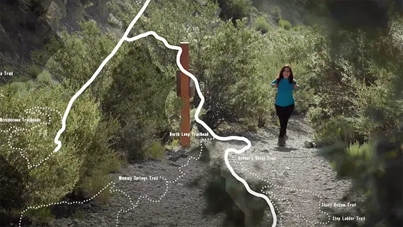
North Loop Trail begins at Highway 158, also known as Deer Creek Road. It starts at about 8,400 feet and moves toward Charleston Peak past Mummy Mountain. At the start of the trail, hikers will notice pinyon and juniper pines with some ponderosa pines mixed in. The pine nuts that drop from pinyon pines are a vital food source for the wildlife that call Mt. Charleston home and they were an important staple in the diet of Nevada’s indigenous people.
As hikers move higher, they’ll notice the Nevada State Tree: the bristlecone pine. Ray Johnson with the U.S. Forest Service says hikers will be able to distinguish between bristlecone pines and other pine species by its unique bottle-brush needles. Bristlecone pines start appearing on the trail around 8,500 feet and continue to get more and more prevalent higher up the trail. These trees can live for thousands of years. A bristlecone pine in California nicknamed “Methuselah” is more than 5,000 years old. The southwestern United States is home to the largest stands of bristlecone pines in the world.
At just over 10 miles, the trail is lengthy, especially for beginners, but it doesn’t get too steep until about eight miles in when it starts to go towards Mt. Charleston Peak.


Explore Nevada’s ideal climate and varied environments that provide inspiration for exciting outdoor adventures.